The neighbourhood.
The club’s home ground, the Fernleigh Track running behind it, Redhead Beach down the road, and the Glenrock clifftops up to the north.
Ground
Our home ground.
Community league football at Liles Oval, Redhead — a short walk from the coast.
History
From the coal era.
The Fernleigh Track behind Liles Oval is an old coal-line railway. Coal trains used to haul coal from these suburbs to the port at Newcastle. Many of the founding families worked in those mines.
Charity
Annual fundraisers.
Charlie's Run 4 Kids, the Black & White Ball and Ladies Day — the club is a proud supporter of the fight against childhood cancer.
Redhead & around.
Tap any card for more, or open it straight in Google Maps.
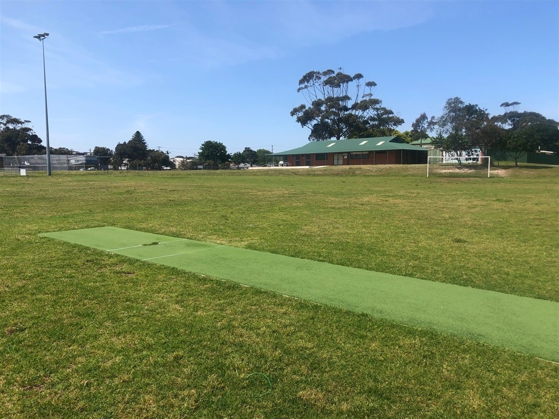
Liles Oval, Redhead
The community club home ground — three competition fields, eleven small-sided pitches, canteen and two changing rooms. Owned by Lake Macquarie City Council.
More about the ground
Liles Oval sits on Cowlishaw Street, Redhead. There's public car parking off the street, a canteen open on Saturday mornings, and the ground backs straight onto the Fernleigh Track. For which field your team is on and a field map, see the Game day page.
PHOTO: PLAYSPORT VENUE LISTING
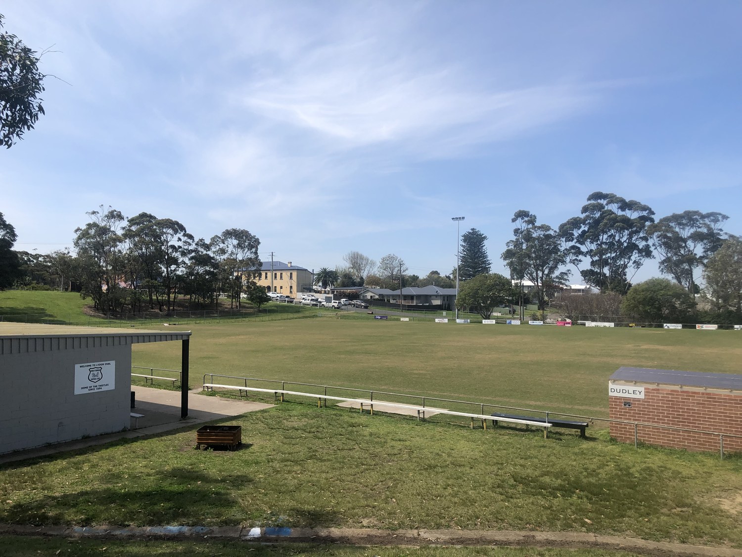
Lydon Oval, Dudley
The club's second ground, in Dudley — home of the Premier side, who play senior football in NNSW Northern League One.
More about the ground
Lydon Oval is the home of Dudley Redhead United's Premier side, promoted to NNSW Northern League One at the end of 2024. It's a short drive north of Liles Oval, in Dudley.
PHOTO: DUDLEY REDHEAD UNITED FC
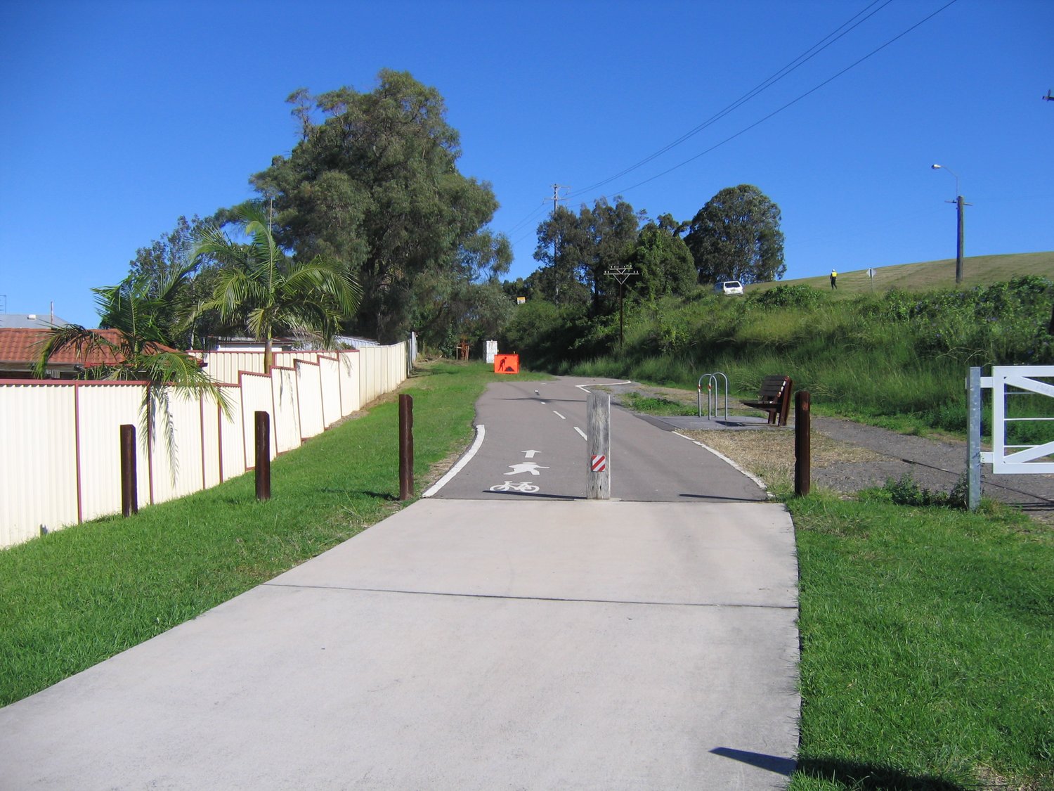
Fernleigh Track
A 15 km sealed walking and cycling trail that runs right behind Liles Oval. It's the old Belmont coal-line railway, converted into a path that runs from Adamstown down to Belmont.
More about the track
The Fernleigh Track follows the route of the former Belmont railway line, closed in 1991 and reopened as a shared path. It passes wetlands, paperbark forest and the old Redhead station. Plenty of families ride or walk in before and after Saturday games — the Redhead access point is a short walk from the ground.
PHOTO: ATHOL MULLEN / WIKIMEDIA / CC BY-SA
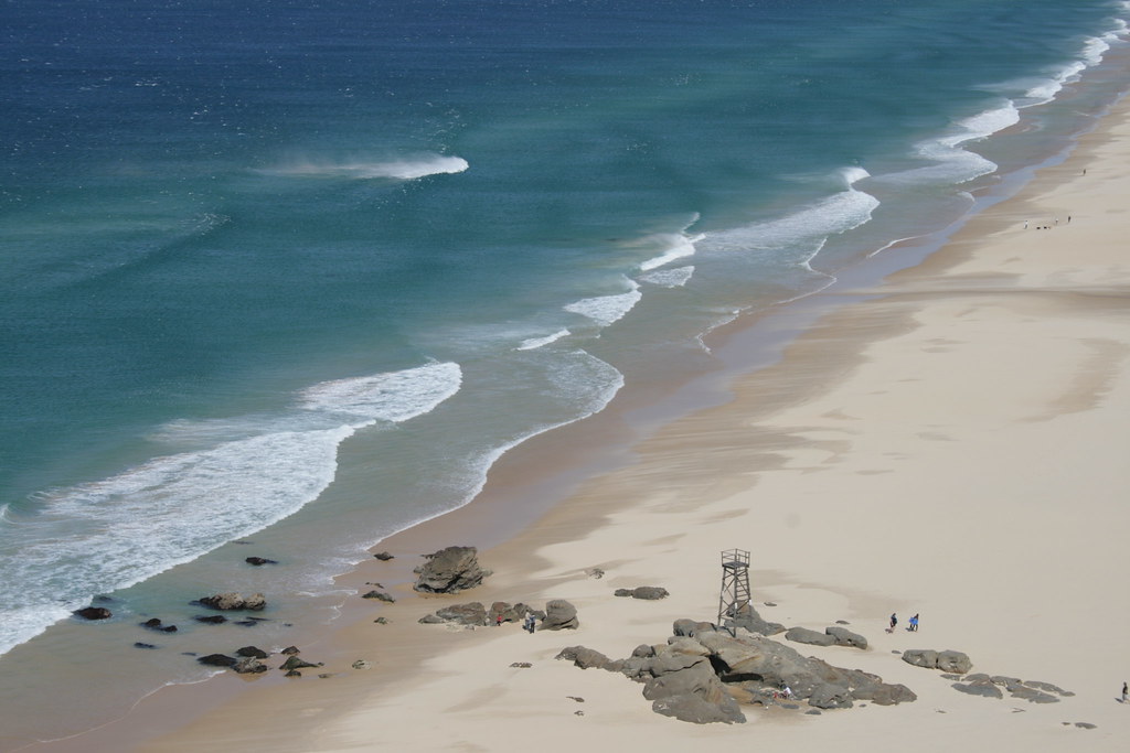
Redhead Beach
About 1.5 km from Liles Oval. A long sweep of sand between the red sandstone bluff and the timber Shark Tower on the rocks at the south end.
More about the beach
Redhead Beach is patrolled by the Redhead Surf Life Saving Club through the season. The Shark Tower at the southern end is the last surviving shark-watch tower on Australia's east coast. There's a kiosk, picnic lawns and parking by the surf club — an easy stop after the football.
PHOTO: KATE AUSBURN / FLICKR / CC BY 2.0
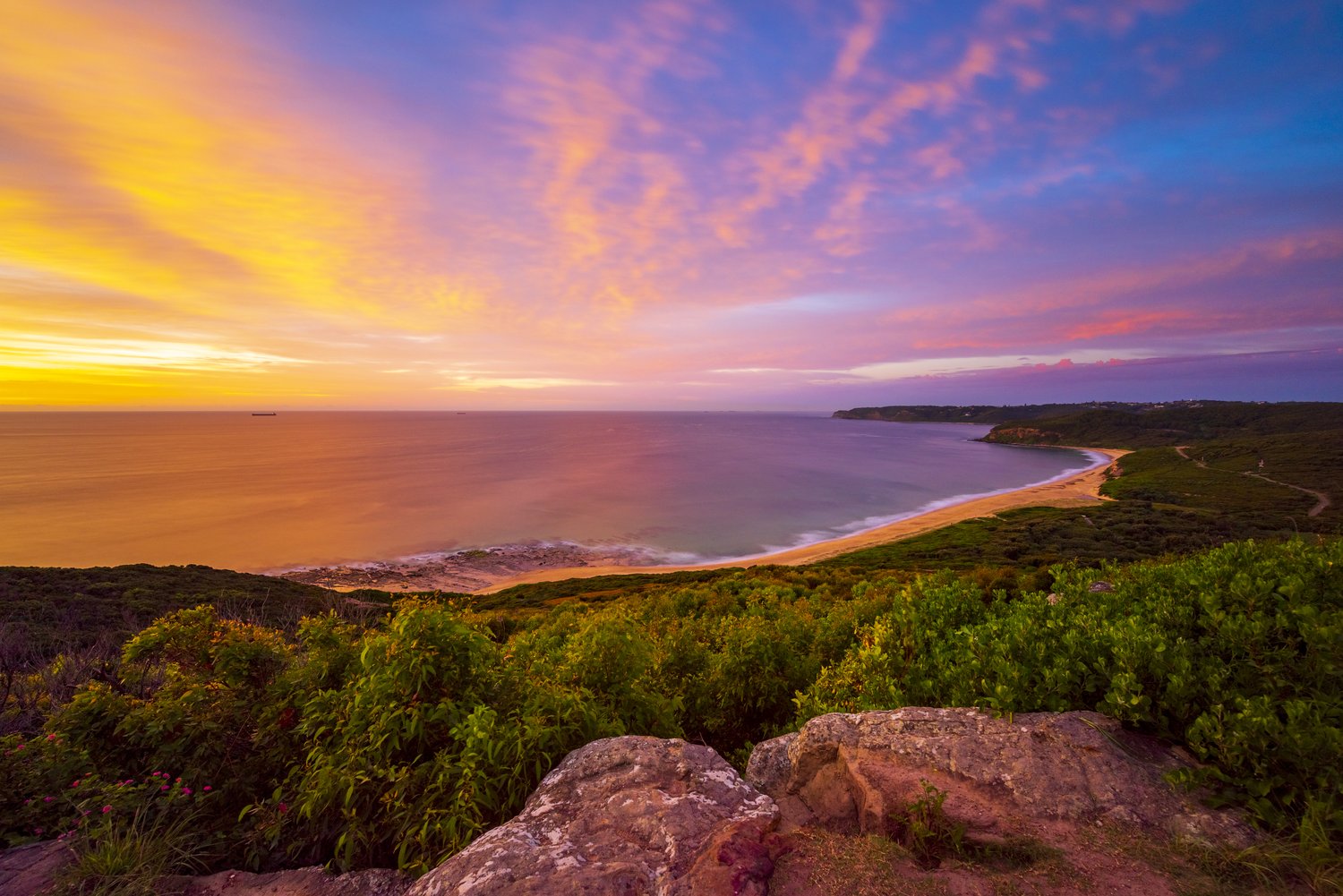
Glenrock
Glenrock State Conservation Area sits to the north of Dudley — ironbark and blackbutt forest, sandstone clifftops over the Tasman Sea, and the Yuelarbah Track walking trails.
More about Glenrock
Glenrock runs from Dudley up to Burwood Beach, with mountain-bike trails, the Yuelarbah walking track down to Glenrock Lagoon, and clifftop lookouts over the ocean. It's one of the larger pockets of bushland this close to Newcastle — a 10-minute drive north of the ground.
PHOTO: PETER ABERY / WIKIMEDIA / CC BY-SA
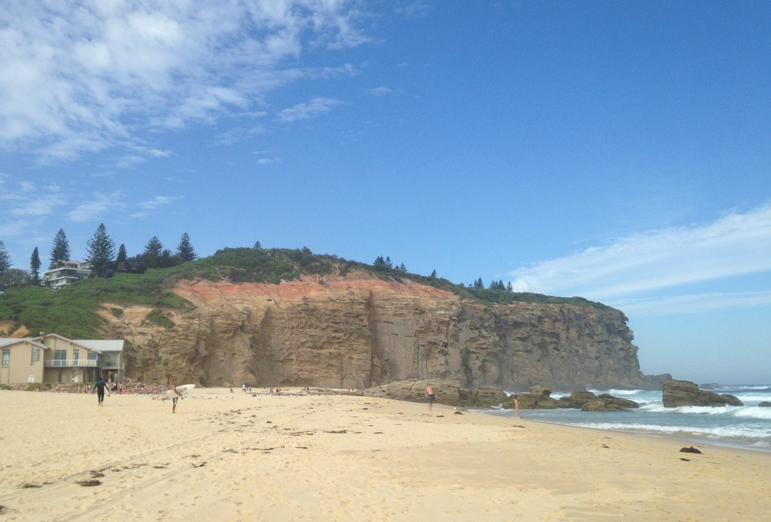
Redhead Bluff
The red sandstone cliffs at the south end of Redhead Beach that gave the suburb its name — deep red and ochre strata, with bushland on top.
More about the bluff
The bluff's striking red sandstone is what early settlers named the suburb after. A walking track climbs over the headland between Redhead Beach and Dudley Beach, with views back along the coast — best at sunrise.
PHOTO: HOLDENMAN05 / WIKIMEDIA / CC BY-SA